
World Bank, NCRS, Train ACReSAL Technical Team on Application of GIS For Sustainable Landscapes Management
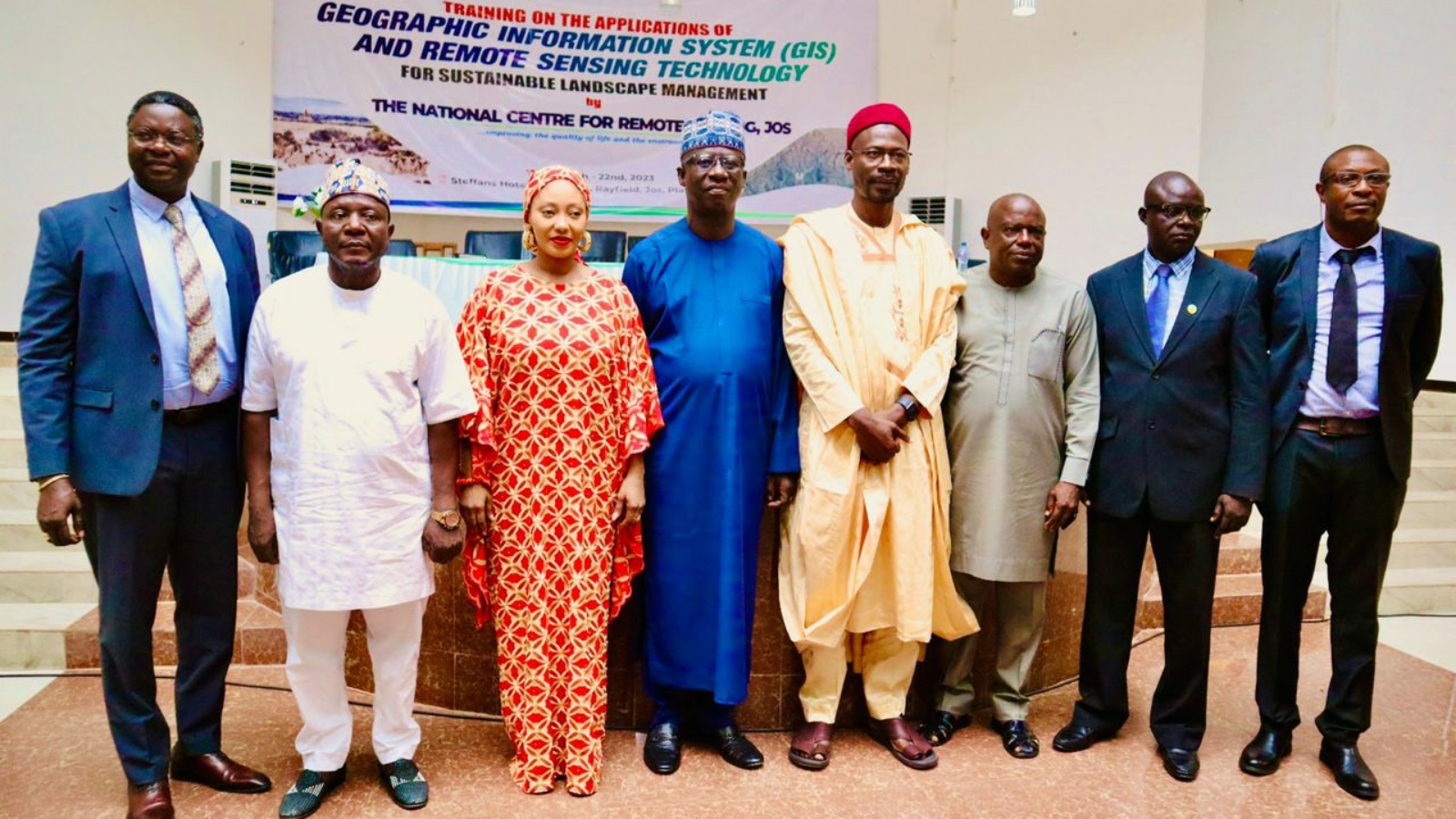
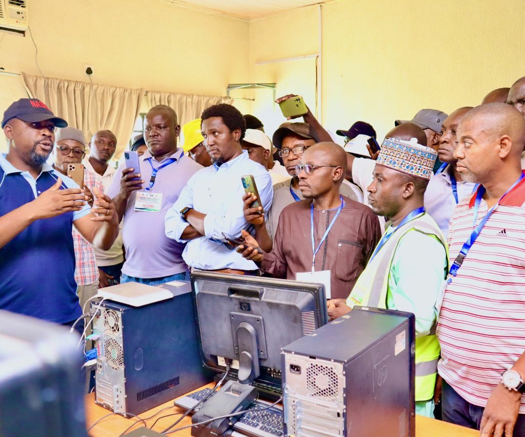
As part of efforts to ensure holistic landscapes management, the World Bank in collaboration with the National Centre for Remote Sensing (NCRS), Jos, Plateau State, has organized a five-day workshop to train ACReSAL Project technical officers on the application of Geographic Information System (GIS) and Remote Sensing Technology for sustainable landscapes management.
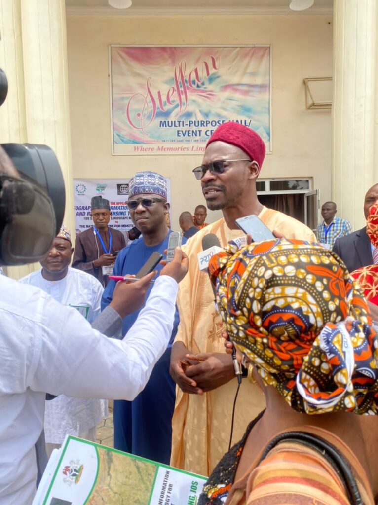
The Five-Day Workshop is taking place from 18th to 22nd July, 2023 at Steffan hotel and Suites, Rayfield -Jos, Plateau state.
The ACReSAL Project Implementation Manual (PIM) specifically identified training in catchment Management structures as one of the priority investments in watershed management. The officers selected for this training are categorized as project field officers.
These are officers whose activities will at one point or the other be implemented at the intervention sites (within the catchment).
While declaring open the training programe, the Director General, National Space Research and Development Agency (NASRDA), Dr Haliru Shaba noted that NARSDA will expand the family of Space Scientists in Nigeria because Space Science Technology would in the near future, take over every part of research and human endeavour globally and the world is going digital by the day.
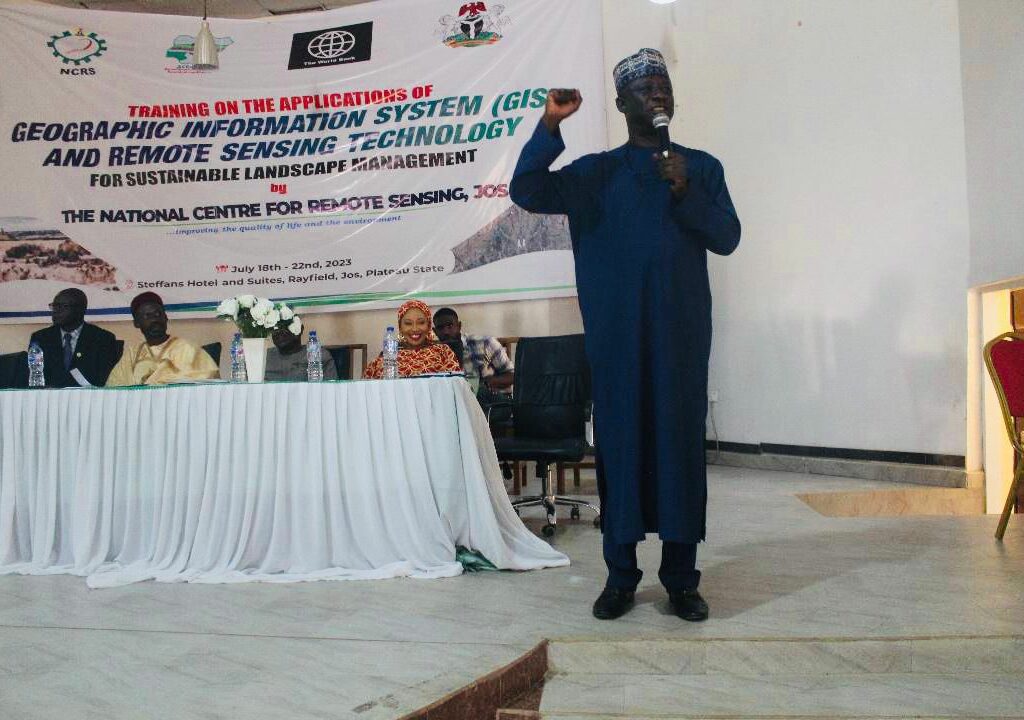
“Now, the most important science technology today is space science technology and I can tell you why.
“Most of you are using smartphones and GPS is there which is space technology and people use it knowingly and unknowingly. Most of you use Google and so. In the next twenty-two years to come, there will be Space Science Technology everywhere”, he assured.
Shaba, however, expressed concern that the biggest problem Nigeria and Africa have is the inability of most major players to coordinate necessary data.
He further stated that we are living in a knowledge economy where data has become very necessary for decision making and it will also assist farmers in reducing crop failures and improve productivity.
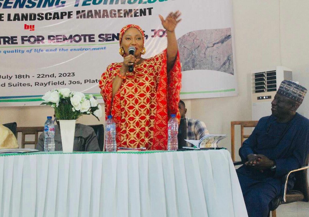
In her remark, the ACReSAL Project Task Team Leader, (TTL), Dr. Joy Iganya Agene disclosed that the aim of the training was for the project technical team to leverage on technology in delivering ACReSAL Project result framework.
She reiterated that ACReSAL team is in National Centre for Remote Sensing (NCRS) Jos for a training on disruptive technology to ensure that implementation activities are carried out differently, efficiently and with speed, to achieve overall project development objective.
She acknowledged that NARSDA and NCRS are strategic partners of ACReSAL project and the synergy between the project and the MDA would be further strengthened after the training.
In his remarks, the National Project Coordinator, ACReSAL, Mr Abdulhamid Umar appreciated the World bank leadership for the enthusiasm in delivering the project and advised all participants to pay adequate attention to every detail in the course of the training period.
He explained that ACReSAL is a World Bank intervention initiated for the purpose of reducing climate change challenges in the 19th Northern States and Federal Capital Territory (FCT).
The NPC noted that ACReSAL team is not unmindful of the technological importance of the project because the team has received series of virtual tutorials on technology within the country and outside all essentially on addressing project component A.
In his welcome address, the Director/CE, National Centre for Remote Sensing, Dr. David Nyomo Jeb said that GIS is a system which uses spatial database to provide answers to queries of a geographical nature.
Dr. Jeb stressed that the training will strengthen the capacity of the ACReSAL project technical team and NCRS is therefore carrying out this training as one of her contributions towards ensuring effective take-off/implementation of the project.
He explained that National Centre for Remote Sensing (NCRS), Jos, Plateau State is a parastatal of the Federal Ministry of Science and Technology and one of the six development centres of excellence under the National Space Research and Development Agency (NASRDA) Abuja.
According to him, National Centre for Remote Sensing (NCRS) has the mandate for the establishment of ground stations for receiving satellite data, generation of data products, dissemination to the users, development of techniques for remote sensing applications including land and water resources management, disaster management support, geospatial services for good governance and capacity building for professionals, faculty, and students.
He emphasized that NCRS also has the mandate to conduct training programs for the benefit of resource planners, managers, decision-makers, researchers, and the general public. More so, NCRS promotes and sponsors local development of inventory of natural resources (e.g. solid minerals, petroleum, forestry etc.) and provide data for environmental monitoring and management, he stated.
ACReSAL seeks to leverage an integrated and participatory catchment management approach as the operating framework for project implementation at the field level, all the project field officers are expected to have an in-depth understanding of the catchment and catchment management.
Therefore, the training will equip them with the requisite skills and capacity that will ultimately assist them to contribute and deliver effectively and efficiently in their specialized roles in managing the catchment.