
Plateau

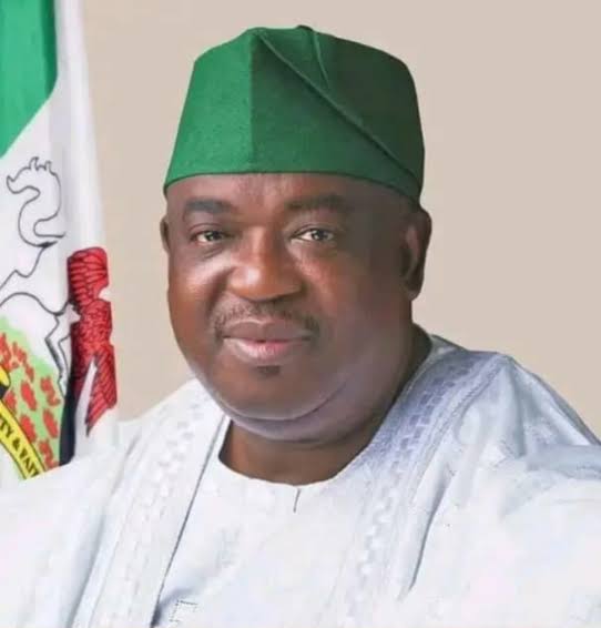
His Excellency, Barr. Caleb Manasseh Mutfwang
State Governor
About Plateau
The State is located in north-central geopolitical zone of Nigeria. Plateau State was created out of the old Benue-Plateau State in 1976 with headquarter in Jos. The state has seventeen (17) local government areas which include Barkin-Ladi, Bassa, Bokkos, Jos East, Jos North, Jos South, Kanam, Kanke, Langtang North, Langtang South, Mangu, Mikang, Pankshin, Quaan-Pan, Riyom, Shendam and Wase. The state is popularly known as Nigeria’s tourism haven and is said to be a miniature Nigeria primary because nearly all the ethnic groups of the country resident there. There are more than 30 hospitable and accommodating ethnic groups in the state and most of them have similar cultural and traditional ways of life.
Geography:
The state covered a total of 26,899 SQKM land area. It shares a common boundaries with Bauchi State to the North, Taraba State in the East, Nasarawa State in the South and Kaduna State in the west. The state is blessed with natural and excellent weather conditions, a land of beautiful sceneries, and rich in cultural and historical heritage.
Weather/Climate:
Though situated in the tropical zone a higher altitude means that plateau state has near temperate climate with an average temperature of between 180 and 220 C. The Jos Plateau is the source of many rivers in northern Nigeria including the Kaduna River, Gongola, Hadeija and Yobe rivers.
Specific Environmental Challenges in Plateau State That Link to ACReSAL (PDO)
- Erosion caused by poor land management practices such as Tin and sand mining
- Deforestation of gazette forests
- Siltation of water conservation structures such as dams and stream
- Drying up of watershed and wetlands for irrigation
- Flooding of peak season
- Increased climate change
