ACReSAL Begins Hybrid Mission in Minna to Improve Accuracy in Result Framework
June 17, 2025
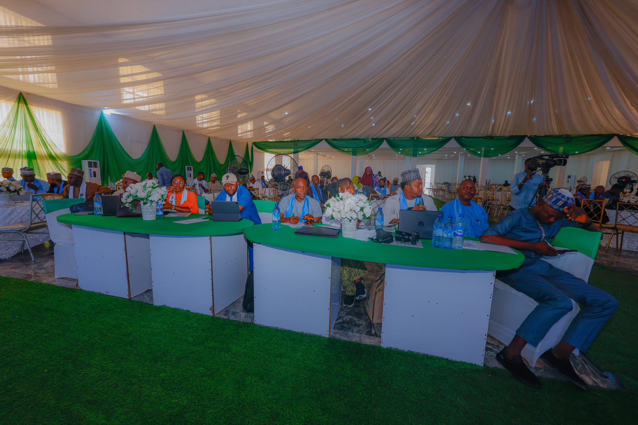
Minna, Niger State—A three-day hybrid implementation support mission has commenced in Minna, aimed at assessing project progress, reporting impact, and enhancing data analysis mechanisms through Geographic Information System (GIS) and Management Information System (MIS) platforms.
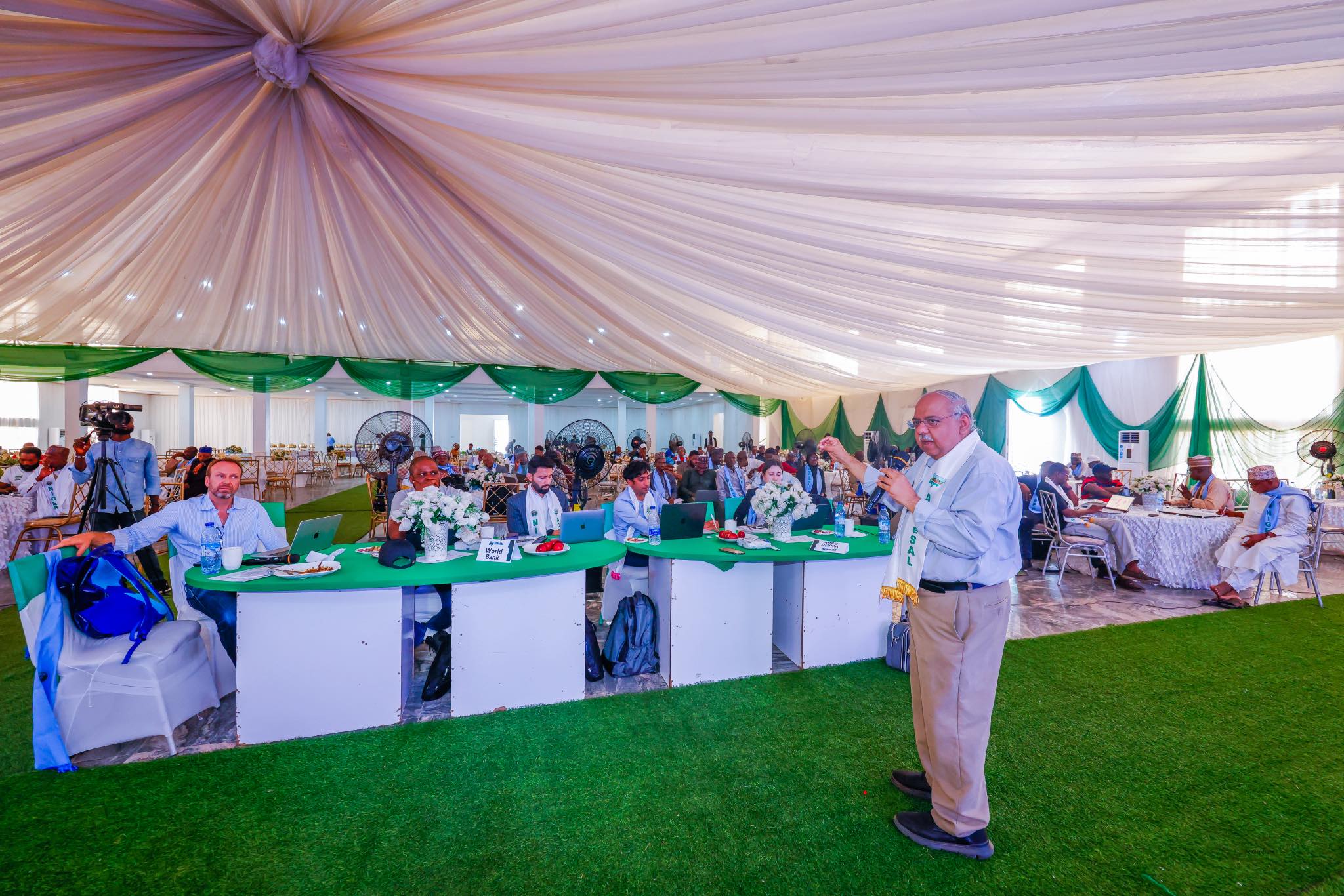
Speaking at the event, ACReSAL National Project Coordinator, Abdulhamid Umar, commended the World Bank team for its technical support, describing the knowledge-sharing sessions as timely.
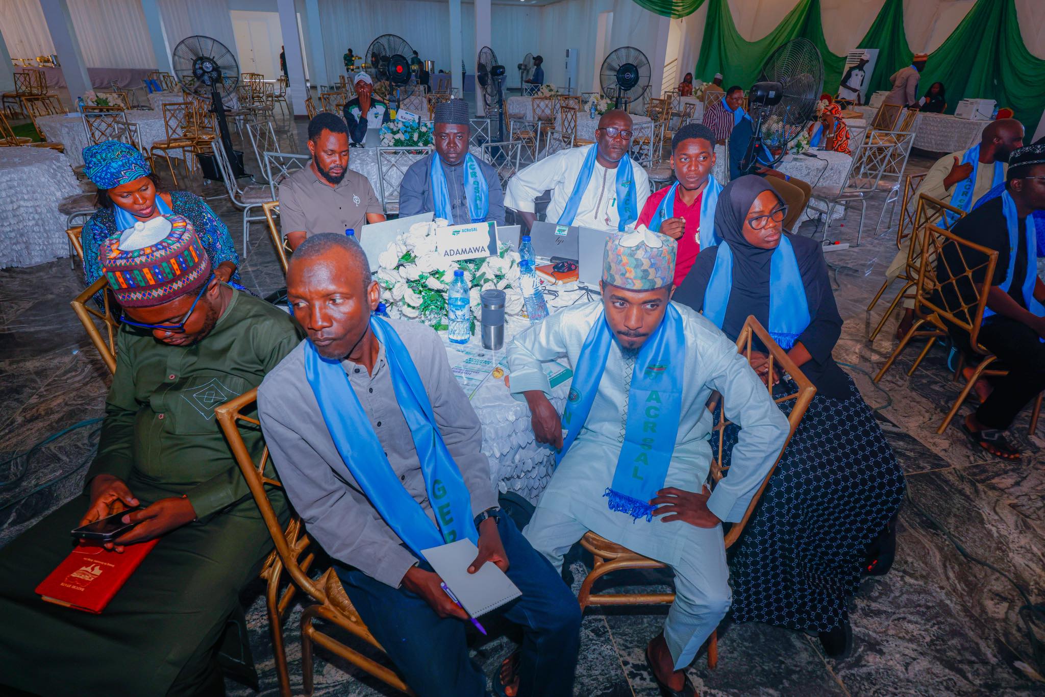
He urged participants, including representatives from the World Bank, the federal project management unit, and 20 states’ project coordinators, along with GIS, MIS, Monitoring and Evaluation (M&E), and Communications officers—to leverage the expertise of World Bank specialists to enhance accuracy in data gathering, reporting, and dissemination.
Umar expressed optimism that the project’s growing success in degraded land restoration will boost global recognition.
A key highlight of the mission was a presentation by Broad Heights Limited, showcasing the application of GIS and MIS technologies for capturing, validating, and uploading intervention data.
The shift from manual processes to digital systems is expected to significantly enhance accuracy and efficiency in project monitoring.
Meanwhile, experts, including Nagaraja Rao Harshadeep, Reid, Viju James and the Kids team, facilitated interactive discussions on results framework indicators, focusing on methodologies for measuring, tracking, delineating, and reporting various project components.
The mission places emphasis on improving stakeholders’ capacity to document and report project outcomes with precision. Participants also explored strategies for ensuring justifiable measurement of intervention areas under key project indicators, including improved catchment management, enhanced drainage, and irrigation services.