Fix-and-Go Won’t Work — Dr. Agene: Data-Driven Restoration Targets 11 Million People Across 2.65 Million Hectare Kaduna-Mariga Catchment
October 19, 2026
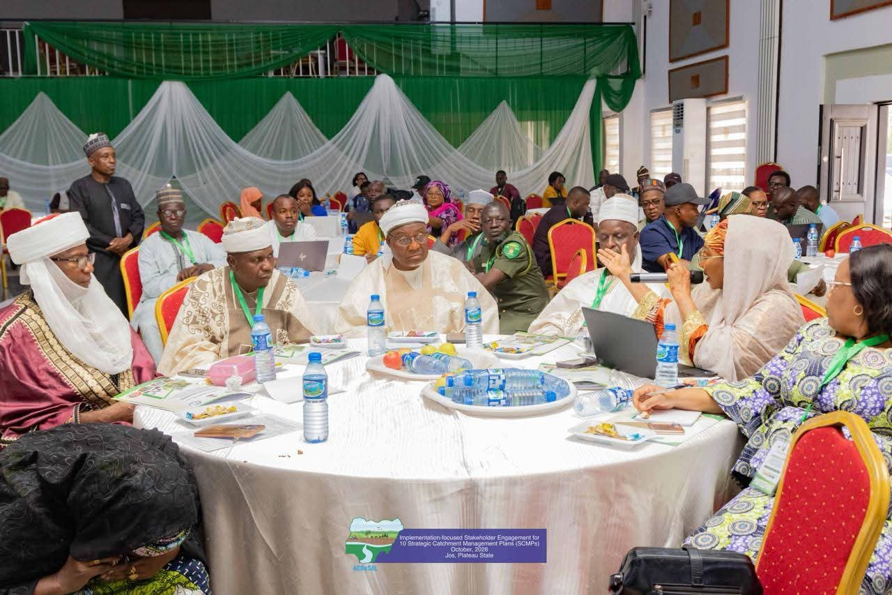
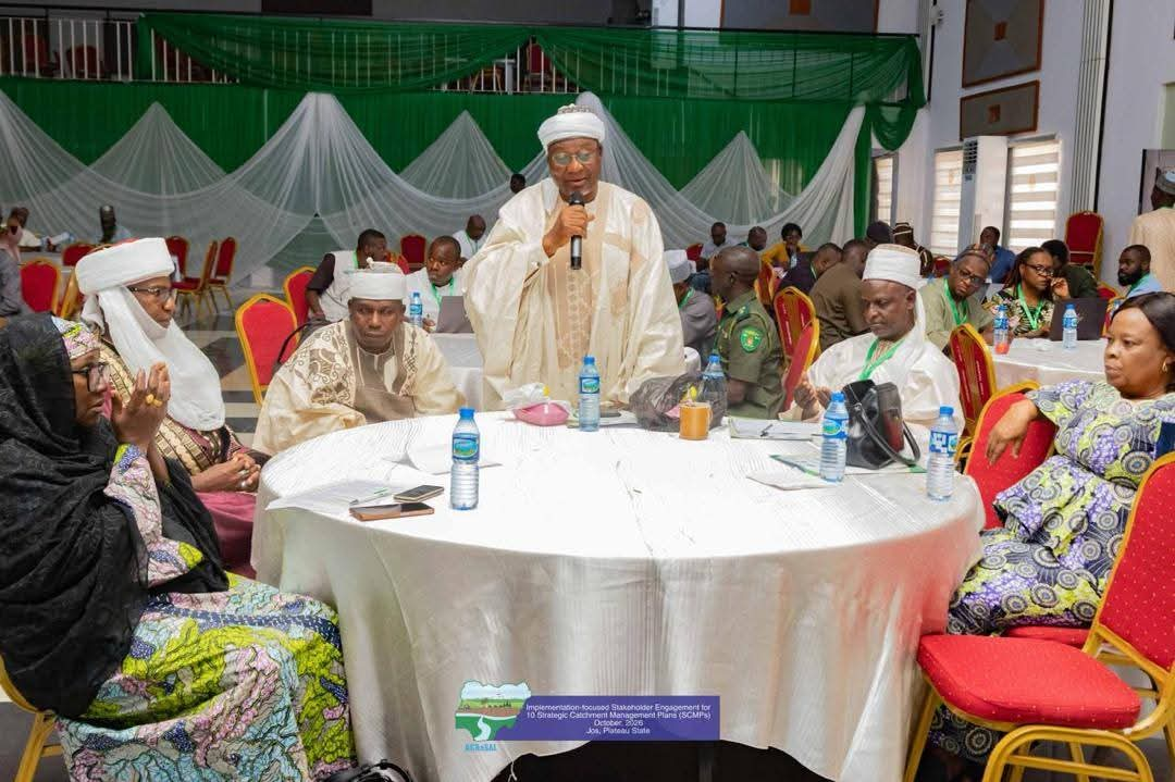
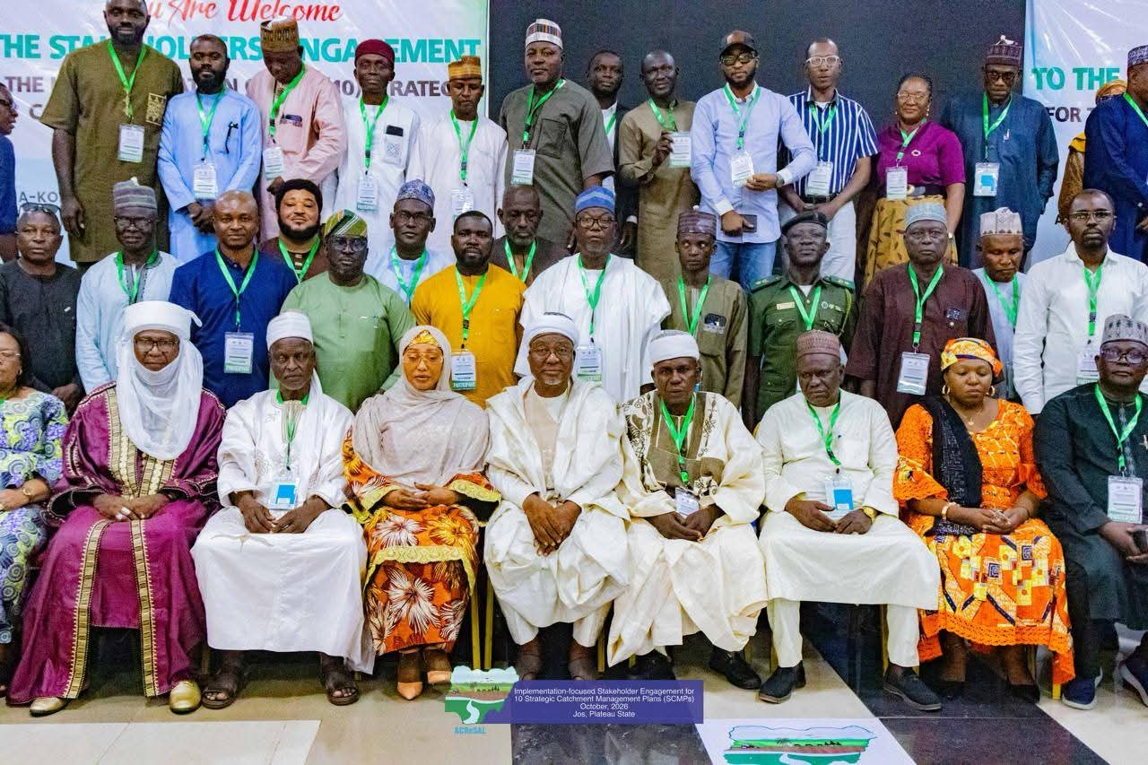
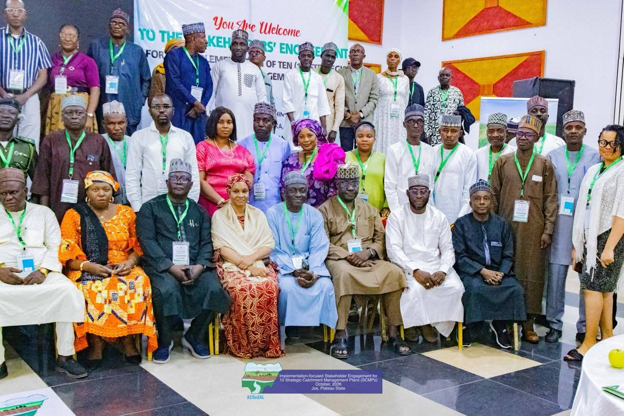
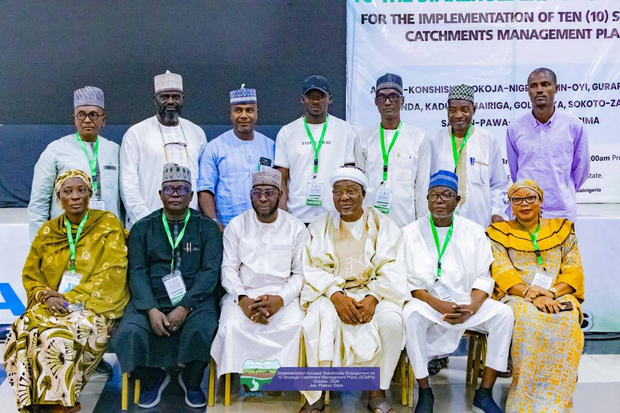
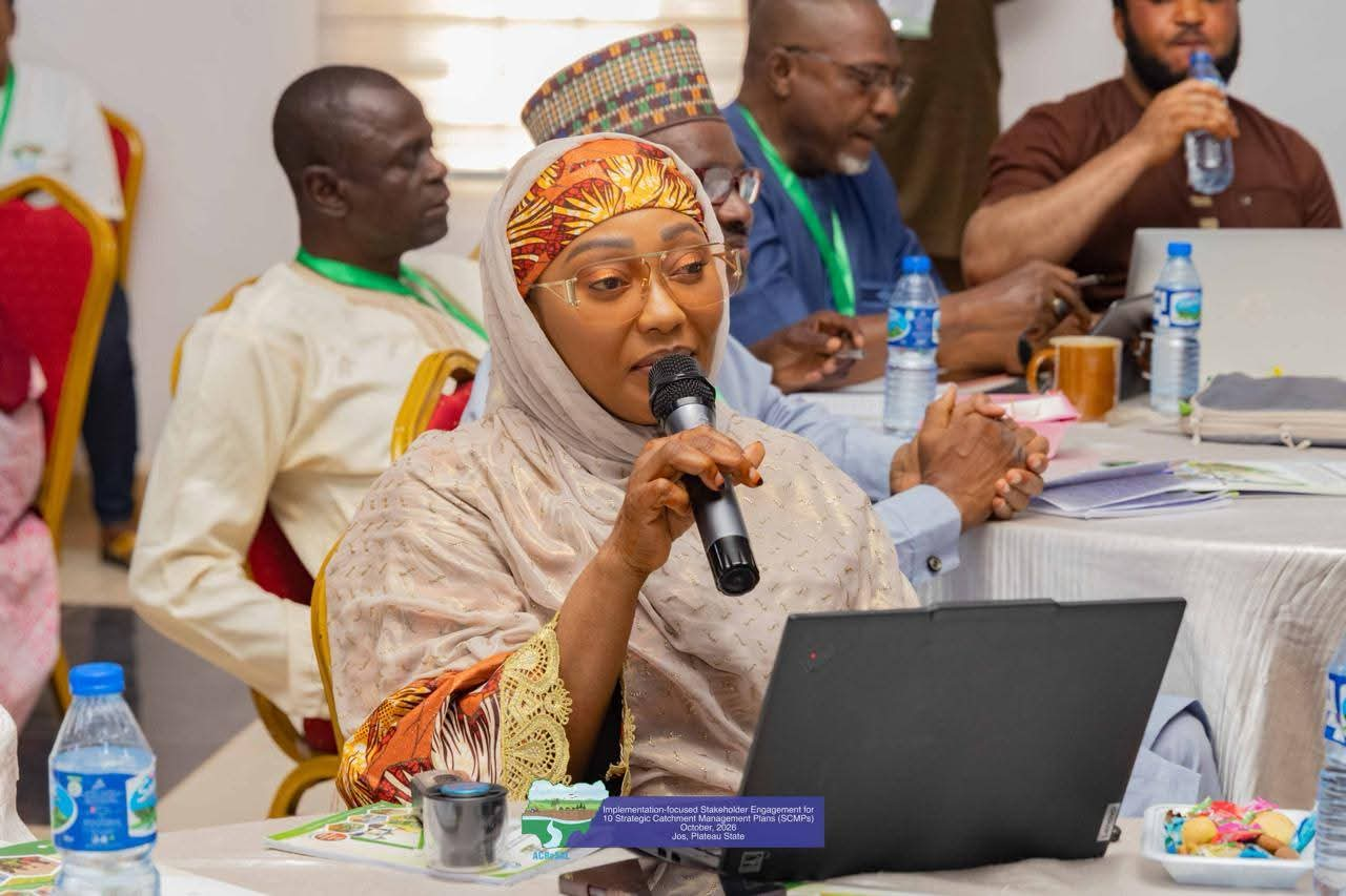
Jos — Sustainable environmental restoration requires evidence-based action, cross-state collaboration, and deep community ownership. This was the central message as stakeholders gathered for the ACReSAL Strategic Catchment Management Planning (SCMP) session for the Kaduna-Mariga catchment.
The Task Team Leader of the Agro-Climatic Resilience in Semi-Arid Landscapes (ACReSAL) Project and World Bank Senior Environment Specialist, Dr. Joy Iganya Agene, emphasized that the project was designed not merely to build infrastructure, but to ensure long-term community participation and sustainability.
“The project is not just about coming to fix and going with the contract,” Dr. Agene stated, underscoring that fixing degraded landscapes requires collective responsibility across state boundaries and local communities.
Her call to action comes ahead of the Lagos Mission for Work Plan development, where participating states will align their plans with technical findings to address land degradation, water scarcity, and resource-driven conflict affecting an estimated 11 million people living within Kaduna-Mariga Catchment.
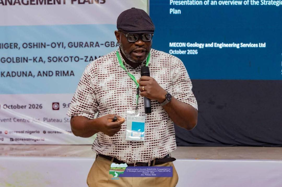
Presenting the technical overview, Dr. Chika Ofodile, Managing Director of MECON Geology and Engineering Services Limited, and Mr. Sam Orji of the National Centre for Remote Sensing (NCRS), Jos, laid out a data-driven portrait of a high-energy system that is geologically divided and economically contested, covering 2,654,398 hectares across six states — Niger (60.1%), Kaduna (17.9%), Zamfara (11.7%), Katsina, Kebbi, and Kwara — the catchment encompasses 38 Local Government Areas and 111 Federal Wards.
The technical assessments highlighted how underlying geology shapes water availability, livelihoods, and security across the basin:
* The Upper & Middle Catchment (Mariga, Birnin Gwari, Kontagora): Underlain by crystalline Basement Complex rock (Older/Younger Granites and Metasediments), groundwater yield here is extremely low (under 2 litres per second). Shallow Lithosols (under 30cm depth) prevent water infiltration, causing immediate surface flooding during rains but leaving no groundwater reserve during dry spells.
* The Lower Catchment (Bida Basin — Lavun, Pategi): Formed of sedimentary rock, groundwater yields reach 4 to 8 litres per second, offering strong potential for year-round irrigation and ongoing exploration for inland hydrocarbon deposits.
* Mining and Security Hotspots: The upper basement complex contains rich deposits of gold, tin, and rare earth elements. Mining activity—driven by global demand—accelerates environmental degradation, while acute water scarcity intensifies competition between farmers and pastoralists.
The technical teams also stressed the principle of hydrological connectivity: low water volume in the water-stressed upper catchment concentrates pollutants, which are then rapidly flushed downstream during flood events, potentially driving endemic health issues in midstream and downstream communities.
The evaluation identified high-priority intervention zones covering approximately 12.03% of the total catchment area. These priority zones represent areas where three or more critical challenges overlap: flood risks, severe erosion, deforestation, agricultural productivity losses, and wetland degradation.
This spatial disaggregation will provide targeted decision-support tools for Ministers, State Governors, traditional rulers, MDAs, and local communities, helping prevent duplicate investments and ensuring efficient resource allocation.
For rapid action plan and strategic interventions to achieving sustainable catchment restoration, the technical presentations and executive guidance outlined key priority actions such as, Water security, Mining Governance as well as Landscape Buffers.
With planning now completed, Dr. Agene described the phase as 50% of the journey, noting that ACReSAL is transitioning to full community execution.
Dr. Agene reminded delegates that while the World Bank provides strategic support, it will prioritize investments based on technical recommendations, authorizing environments, and field accessibility while charging state representatives and traditional leaders to debrief their local councils and benchmark their planning against established best practices.
Posing a direct question to all stakeholders, she asked, “To restore this land, what is it that Niger must do? What is it that Katsina must do? Kwara? Kebbi? Zamfara? Kaduna? And what must we all do together?”.