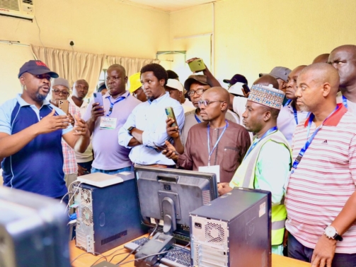
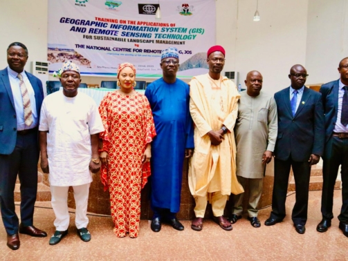
The documents below are some of the presentations made during the hands-on capacity building on the Application of Geographic Information System (GIS) and Remote Sensing (RS) Technology for Sustainable Landscape Management held at the Steffan Hotel a ...
World Bank, NCRS, train ACReSAL Technical team on Application of GIS for sustainable landscapes Management
As part of efforts to ensure holistic landscapes management, the World Bank in collaboration with the National Centre for Remote Sensing (NCRS), Jos, Plateau State, has organized a five-day workshop to train ACReSAL Project technical officers on the ...